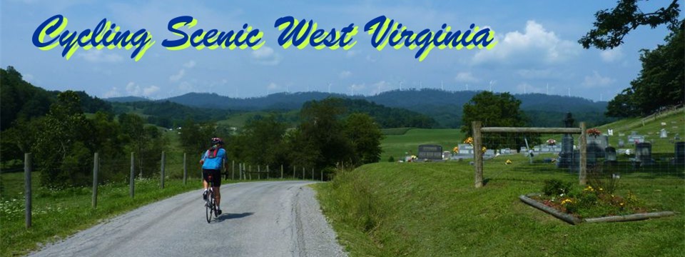
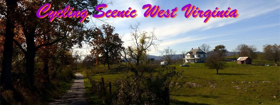
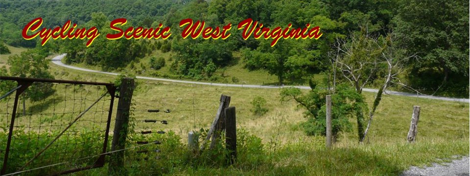
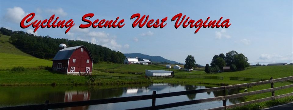
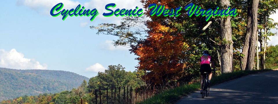
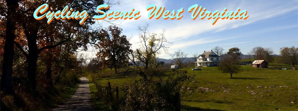
Welcome to Cycling Scenic West Virginia. I hope you find this site beneficial for your cycling enjoyment. Persons familiar with West Virginia's topography may think of cycling in West Virginia as being a little daunting, but for the fit cyclist, there are quiet back roads and beautiful scenic vistas to enjoy. This site will highlight some of the authors favorite rides in West Virginia.
Each route has its own page that provides a general description of the route, links to downloadable pdf map and turn list, usually a link to "Ride with GPS" where the route is also recorded, and items of interest or historical significance along the route.
For all the counties that my routes go thru, there will be a county specific pages. The county pages will have links for all the routes that are partially or fully contained in the county. County pages have some general information concerning the county, information about food and lodging opportunities (usually thru links to county tourism pages), and other miscellaneous information I may choose to include. Click here for the page with a map and list of counties with rides listed on this site. For those not familiar with WV counties, click here for a page listing communities/town in counties with posted rides.
I've started the associated Facebook page to facilitate communication with people interacting with the site.
I started the actual composing of the site in mid February of 2013. If you find errors, links that do not work, or other things that need corrected, please contact me via email or Facebook.
If you have done a ride because you found it on this site, I would appreciate hearing any suggestions you might have concerning the narrative, map or turn list. Contact Us
Riding in West Virginia
West Virginia is well known for its excellent mountain biking, but is not as renown for its road biking. Admittedly, it isn't wise to just pick a spot on the map of West Virginia and say that is where I'm going to ride. Hopefully this site will guide you to some of the more scenic and enjoyable riding opportunities in West Virginia. West Virginia (WV) is anything but flat. It is not known as the Mountain State for nothing. WV may not have the towering 14,000 peaks of Colorado, but there is a LOT more flat land in Colorado than in WV. Spruce Knob at 4,863ft is the high point of West Virginia and Harpers Ferry at 273, is the low point of West Virginia and are less than 110 miles apart..
It is almost impossible to come up with a "flat" loop route in West Virginia. If you are making a loop, than you are crossing and recrossing at least one drainage division, and that almost always requires a little climbing. Out and back routes are about the only way of having a fairly flat overall ride in WV. Williams River Road off of the Highland Scenic Highway toward Cowan is one such stretch of road as is State Route 4 between Clay Junction and Gassaway. The rail trails also offer a flat out and back experience, but only a few miles of rail trail are paved in WV.
Rides listed on this site are most appropriate for fit cyclist. Someone who rides regularly, and for distances of 20 miles or more.. Many rides feature flat or rolling sections with longer climbs interspersed as the route travels from one drainage area to another. Other rides will have multiple short steep climbs (8-12 percent ) and longer climbs of 7-9 percent. The maps will generally indicate where the longer climbs are located on the route and include a profile. . Links to the routes recorded on the site "Ride With GPS" are also provided. The routes have a difficulty "ride rating" I developed to provide a reference between routes.
Route Selection
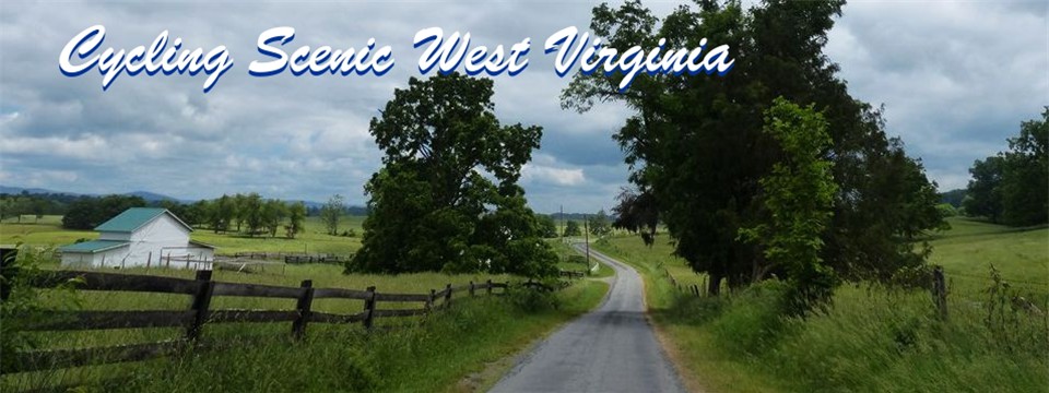
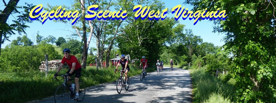
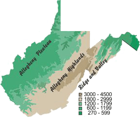 Currently most of the posted routes are in the highlands of WV. I will be adding some gravel rides in 2022. The routes are selected for their combination of scenic beauty and riding enjoyment. In general, high traffic areas are avoided except for short connector sections. Many of the routes feature narrow rural paved roads where vehicles have to put one wheel off the pavement to pass. These type of roads have low traffic volumes, but cyclist must ride under control and be aware of the possibility of oncoming traffic. Many of the rides will feature steep twisting descents. Please ride safely to fit the condition of the roads, traffic, and weather.
Finding a Route
The following are some options for selecting a route.
-
County pages: In addition to listing all the routes that touch on the county, the county pages provide information about the general area, like lodging and dining opportunities, and other items of interest in the county.
-
Listing by Length/Rating: Lists all posted routes in order of Length.
-
Listing by towns/communities. This lists towns and communities in proximity to the routes with a link to the county page they are in.
-
Alphabetical Listing of route.
WV Scenic Biking Season
Some resident riders manage to ride most months out of the year, but the majority of the road riding is done between March and November. The "Scenic" riding season is between April/May and October/November, when the leaves are on the trees. Because of the variation of elevation in the state, arrival of Spring can vary by as much as a month from the lowlands to the highlands.
Leaves will not appear in the highest elevations till early May, but by mid April, leaves are almost fully out in the river valleys at the lower elevations. April weather can vary greatly, from very warm to chilly and even snow. May tends to have more consistently warmer weather, though I have been snowed on in mid May in the Blackwater Falls area. Summer can be hot and humid at times. You can usually get a decent ride in with comfortable temperatures by riding in the mornings. This is especially true in the highland counties. In the highlands, the evenings usually cool off fairly rapidly.
September has some of the best riding weather. Temperatures are moderate and humidity is usually lower than the Summer months. Early mornings can be a little chilly in the highlands, but late morning and early afternoon riding temperatures can be pleasant. September and October precipitation are generally lower than the Summer months. Leaves will start to turn color in late September at the higher elevations and mid to late October in the lowland area. The state tourism site usually tracks the areas where leaves are at peak color.
Average High & Low Temperatures
| Month |
April |
May |
June |
July |
August |
September |
| Elkins-Parsons |
63 / 37 |
70 / 45 |
78 / 55 |
81 / 59 |
81 / 58 |
74 / 51 |
| Marlinton |
55 / 38 |
63 / 47 |
70 / 55 |
74 / 59 |
74 / 59 |
67 / 53 |
Lewisburg
Union` |
63 / 36 |
71 / 45 |
79 / 55 |
82 / 59 |
81 / 58 |
75 / 50 |
Charleston
Ripley |
68 / 45 |
75 / 52 |
82 / 62 |
85 / 66 |
85 / 65 |
78 / 57 |
What this site is meant to be.
I hope this site will be an aid for the fit cyclist to find scenic riding opportunities in West Virginia.
What this site is not.
This site is not intended to be a comprehensive listing of rides in WV, or a particular county but an aid to begin your exploration of riding in West Virginia.
Future Plans
I will probably be adding a few gravel rides to the site.
Once the bike routes have been added, I may add a page on some of my favorite places to cross country ski in the state.
Disclaimer
The listing of routes on this site is not a guarantee of the safety of the route. Cycling has inherent risks and riders skills vary. Traffic conditions vary by time of day, season and local events. Road conditions can vary and change and may change dramatically over one winter season. Riders need to ride within their capabilities and be alert for road hazards and traffic at all times.
Copyright Notice:
This site, maps, photos and all materials created for this site are copyright of the author unless otherwise noted. They may NOT be posted on other sites or reproduced for sale or profit, without specific permission of the author. However, the maps and turn lists may be down loaded for personal, non profit use.
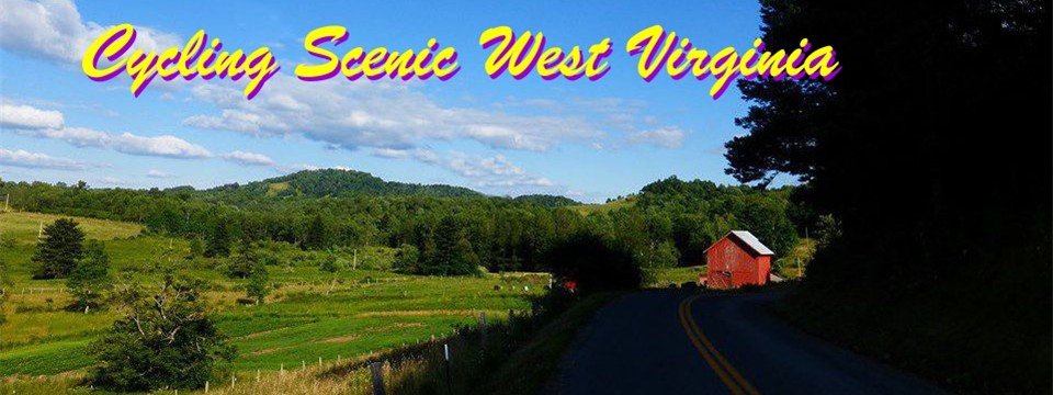 Woodrow Road
 1
1 2
2 3
3 4
4 5
5 6
6 7
7 8
8 9
9 10
10 11
11 12
12 13
13 14
14 15
15 16
16 17
17 18
18 19
19 20
20 21
21 Currently most of the posted routes are in the highlands of WV. I will be adding some gravel rides in 2022. The routes are selected for their combination of scenic beauty and riding enjoyment. In general, high traffic areas are avoided except for short connector sections. Many of the routes feature narrow rural paved roads where vehicles have to put one wheel off the pavement to pass. These type of roads have low traffic volumes, but cyclist must ride under control and be aware of the possibility of oncoming traffic. Many of the rides will feature steep twisting descents. Please ride safely to fit the condition of the roads, traffic, and weather.