General Route Description
 This route is short but challenging. With climbs of 2 miles, 1 mile, and 3 miles in that order, it is a test of the climbing legs, and there are some rollers in between. From Edray, you start out riding thru farm country, passing the fish hatchery, before the 2 mile climb at Woodrow. Topping out the Woodrow climb, there are a few more rolling miles before crossing the Williams River and beginning the one mile climb. Topping the 1 mile climb, you have a nice roll out down to the Highland Scenic Highway (Rt. 150).
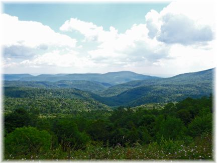
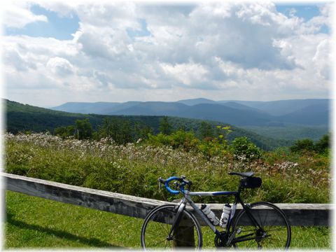
This is where some work starts as the three mile climb begins. This climb is steeper at the bottom than at the top, but is pretty consistent from top to bottom. You hope it is not a hot sunny day, as you have no shade on this climb. After reaching the overlook at the top, you have an excuse to take a break to check out the view, but you still have a little more climbing to do. After topping the last little climbing, it is all downhill. After a long downhill and passing another pull off overlook, you arrive at Rt. 219 junction. Taking a right here, you still have 3 miles of twisting, turning downhill before arriving at the finish.
I usually extend this ride by going out Co. 1, Back Mt. Rd., to Co. 16. Taking a right onto Co. 16 takes you to Co. 15, and a right on Co. 15 take you down to US 219. Taking a right on US 219 and then a left at the end of the bridge onto 219/3 at Campbelltown, takes you back to Co. 17 and the original route. When doing the extended route, I usually start at Marlin Chapel. The extended route is 33.3 miles.
Food-Water Sources:
The only public food and water sources on the route, is the convenience store in Edray at the junction of US 219 and Co. 17.

 Length: 24.7