General Description
Starting in Union, you head north on U.S. 219 for 2.4 miles, the main North South artery through the county. This will be the highest traffic portion of the ride. After passing the BF Goodrich plant, a major employer in the county, you turn onto Stringtown Road. Like most of the route, Stringtown Road travels thru farming and rural home sites.
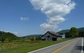
Stringtown Road takes you to State Route 3, the major East West artery through the county. State Route 3 will have some higher speed traffic, but the volume usually is not bad except for commuting periods. You have several miles of rolling terrain, before a long descent, with some sharp turns, into the Wolf Creek drainage.
This next section is an enjoyable flat stretch as the road skirts the edge of the Wolf Creek Valley. You want to be sure to resist temptation of spinning your legs out on this section as the real climbing begins after turning off of Route 3.
Turning onto County 3/2, a narrow country lane, you soon start a series of climbs and descents. The road surface varies from good to poor on this section.
From Co. 7, you begin a series of stair step climbs on the way to Knobs and some prominent high ground in the county. After passing Knobs, you begin a long and at times a steep descent into Union.
Option: Because Union is the only public source of water and food on the route, you may want to consider beginning the ride in the Wolf Creek area (near Alderson), to provide a mid ride water and food break. This also would put the major climbing in the first part of the ride.