


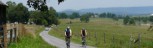
 Looking toward Fort Spring from top of climb.


 Near Cornstalk


 1
1 2
2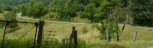 3
3 4
4 5
5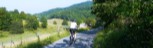 6
6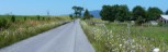 7
7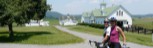 8
8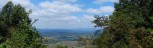 9
9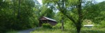 10
10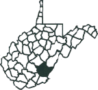
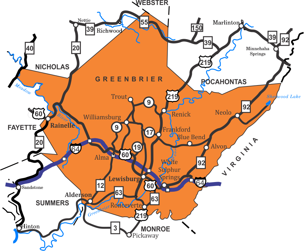
Greenbrier County Rides
The Greenbrier Valley Bike Club is an active group of local riders that welcomes visitors.
- Alderson, Sinks Grove, Clayton Loop, Length 44, Rating 4.1
- Hokes Mill Loop, Length: 33.5, Rating 3.5
- Lewisburg-Alderson Loop, Length: 33 Miles, Rating: 3.1
- Lewisburg-Sinks Grove-BlueSuphur Loop, Length: 47; Rating:: 4.7
- Muddy Creek Mtn. - Sinks Grove Loop, Length: 29.8, Rating: 2.9
- Sinks Grove Loop A, Length: 5.1 miles, Rating: 0.4
- Sinks Grove Loop B, Length: 6.9 miles, Rating: 0.5
- Sinks Grove Loop AB, Length: 10.2 miles, Rating: 0.7
- Sinks Grove Loops ABC, Length:12.5 miles. Rating: 0.9
- Tour De Sinks, Length: 29 miles, Rating: 2.6
- Unus Loop, Length: 38.6, Rating: 3.6
The Greenbrier River Trail is a 78 mile long lenial state park. It follows the old Chesapeake and Ohio Railroad grade along the beautiful Greenbrier River, beginning at Caldwell in Greenbrier County and ending at Cass in Pocahontas County. It is st5one based and not suitable for road bikes, but OK for gravel and mountain bikes.
 A little about the county.